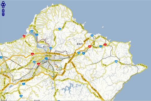
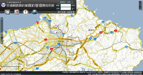
國內NGIS平台切圖規範(1):交通網路資料庫
交通網路資料庫資料管理應用系統(建置單位:交通部運輸研究所):http://www.iot.gov.tw/IOT/FLEX/FxResults/IOTMap.aspx
該系統提供兩套基本底圖
- 電子地圖 http://www.iot.gov.tw/ArcGIS/rest/services/IOTMAP/MapServer/
- 衛星影像 http://www.iot.gov.tw/ArcGIS/rest/services/IOTSAT1/MapServer/
切圖規範
- 圖資坐標系統:TWD97
- Height:256
- Width:256
- DPI:96
- 產圖範圍:
XMin: -88213.118619165
YMin: 2349500
XMax: 642475.491002485
YMax: 3020500
Spatial Reference: 102443
- 原點(左下角):
X: -50000
Y: 2970000
- 產圖比例尺:
4000
8000
12000
16000
32000
62500
125000
250000
500000
100000
2000000
4000000
以Openlayers API讀取服務
- 電子地圖http://crgis.rchss.sinica.edu.tw/web/IOT/IOT_MAP.html

- 衛星影像http://crgis.rchss.sinica.edu.tw/web/IOT/IOT_SAT.html

Categories: Tiles Service


