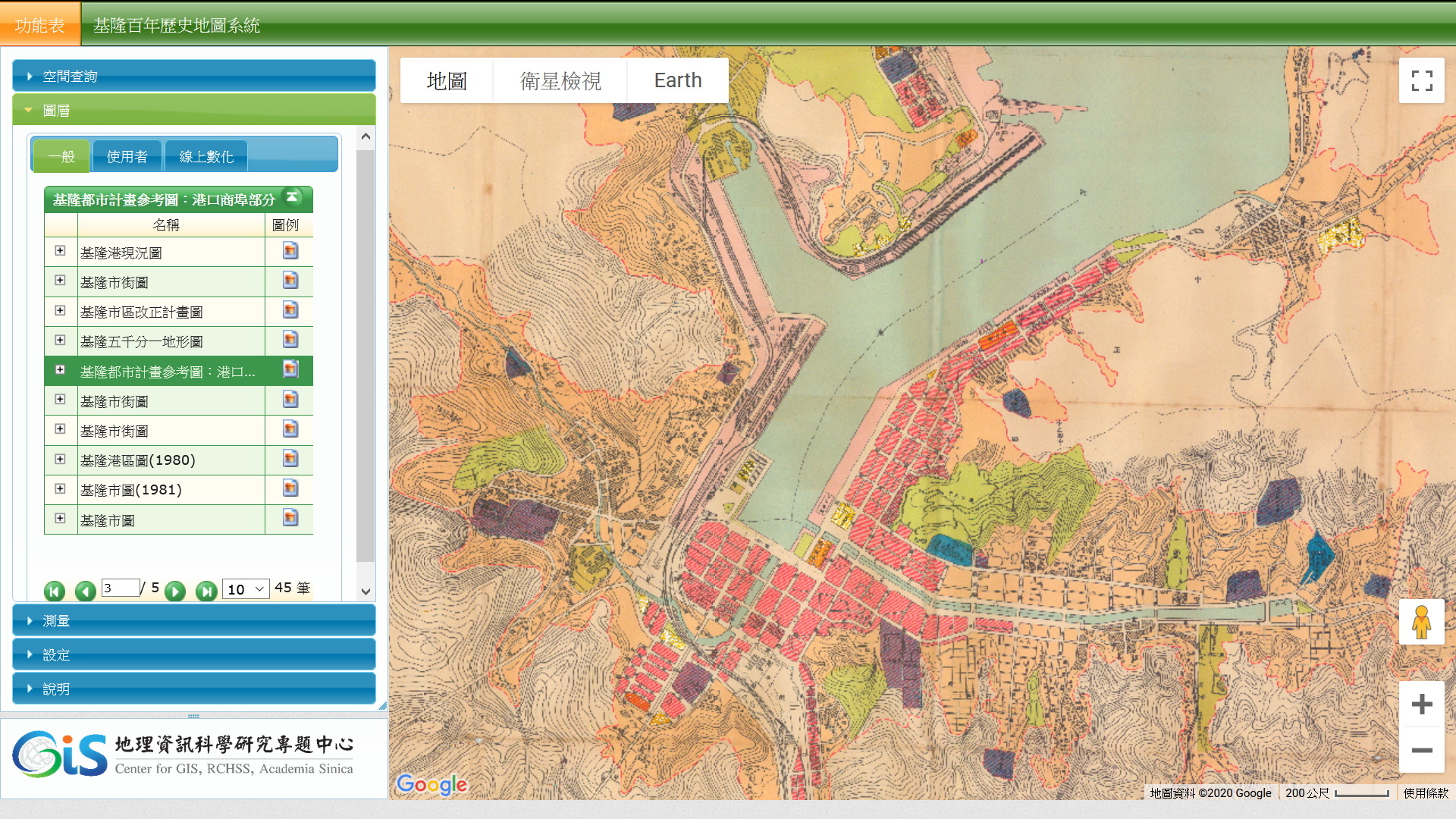
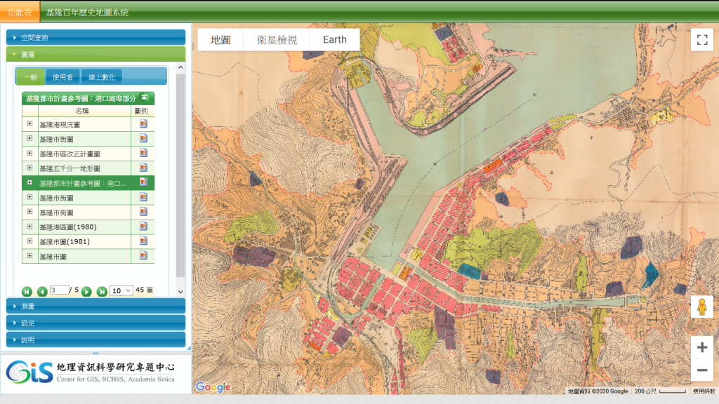
基隆百年歷史地圖系統新增圖層
Monday, December 7th, 2020 at 21:08
「基隆百年歷史地圖」新增8項歷史圖層。
- Keelung Harbor, Formosa Island
- 基隆港(1899)
- 基隆港附近(1937)
- 基隆港(1937)
- 基隆都市計畫圖(1941)
- 大基隆都市計畫圖(1946)
- 基隆都市計畫參考圖:港口商埠部分(1971)
- 基隆市街圖(1974)
This entry was posted
on
最新消息.
You can follow any responses to this entry through the RSS 2.0 feed.