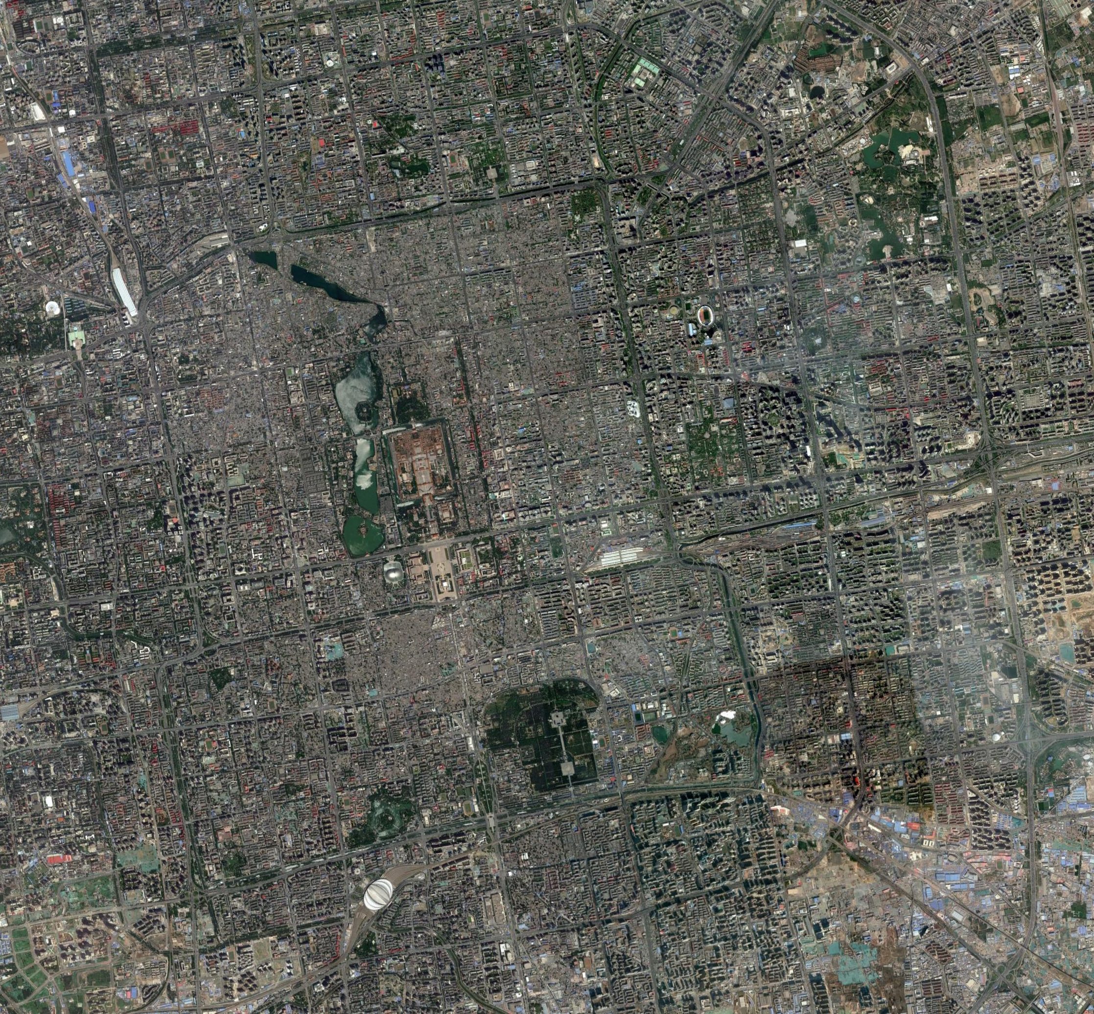
1945年1月25日美國陸軍第十四航空隊(14th A.F)第21照相偵察中隊(21st Photo Reconnaissance Squadron)所拍攝的北京城航空照片,完整紀錄下二戰後期北京城與附近地區的地理面貌,對比今日的衛星影像可以觀察到劇烈的地景面貌改變。
1945年北京城航照影像(編號:21PR-5MD-11-TV-0016)
今日北京衛星影像(取自:Google Earth)
This entry was posted on 地圖俱樂部. You can follow any responses to this entry through the RSS 2.0 feed.