


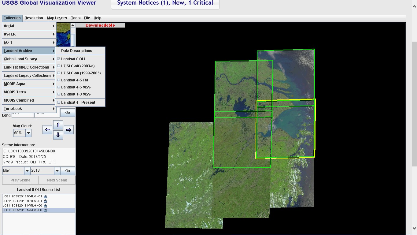
USGS與NASA推出最新的Landsat 8衛星影像,可提供15公尺解析度之全色態影像及30公尺解析度之8波段多光譜影像。使用者可以透過The USGS Global Visualization Viewer (GloVis)網站下載原始影像檔案。
一般使用者在利用Landsat 8衛星影像時都會需要操作最基本的光譜組合及影像融合(pan-sharpening)影像處理作業。為此,GeoSage公司推出一款軟體「Spectral Transformer tool sets for Landsat-8 imagery」來提供來進行三項基本衛星影像基本步驟,包括:
Step 1: Simple band combination to make three-band imagery composite
Step 2: Adaptive linear and non-linear image stretching to make colorful imagery composite
Step 3: Advanced and fast image pan-sharpening to make spatially sharper and colorful composite
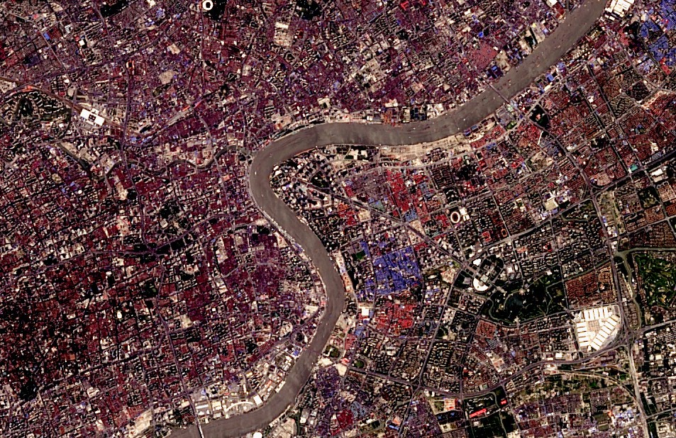 上海市區Landsat 8彩色融合影像
相關報導: