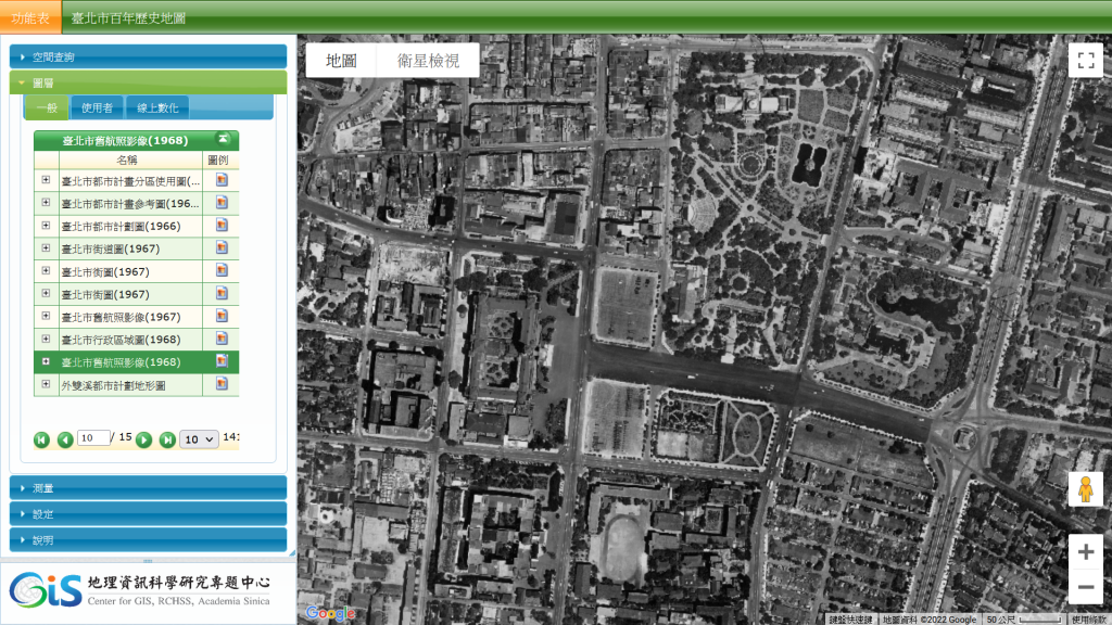
臺北市百年歷史地圖系統新增圖層
Saturday, July 30th, 2022 at 10:08
「臺北市百年歷史地圖」新增3項歷史圖層,並同步開放WMTS服務介接;需特別注意,由於當時航拍任務及資料保存問題,1964年及1968年歷史航照影像僅涵蓋臺北市局部地區。(特別感謝臺北市都發局提供1964年及1968年歷史航照影像校正成果)
- 臺北市舊航照影像(1964)
- 臺北市舊航照影像(1968)
- 臺北市舊航照影像(2003)

臺北市百年歷史地圖系統新增「臺北市舊航照影像(1968)」圖層
This entry was posted
on
最新消息.
You can follow any responses to this entry through the RSS 2.0 feed.