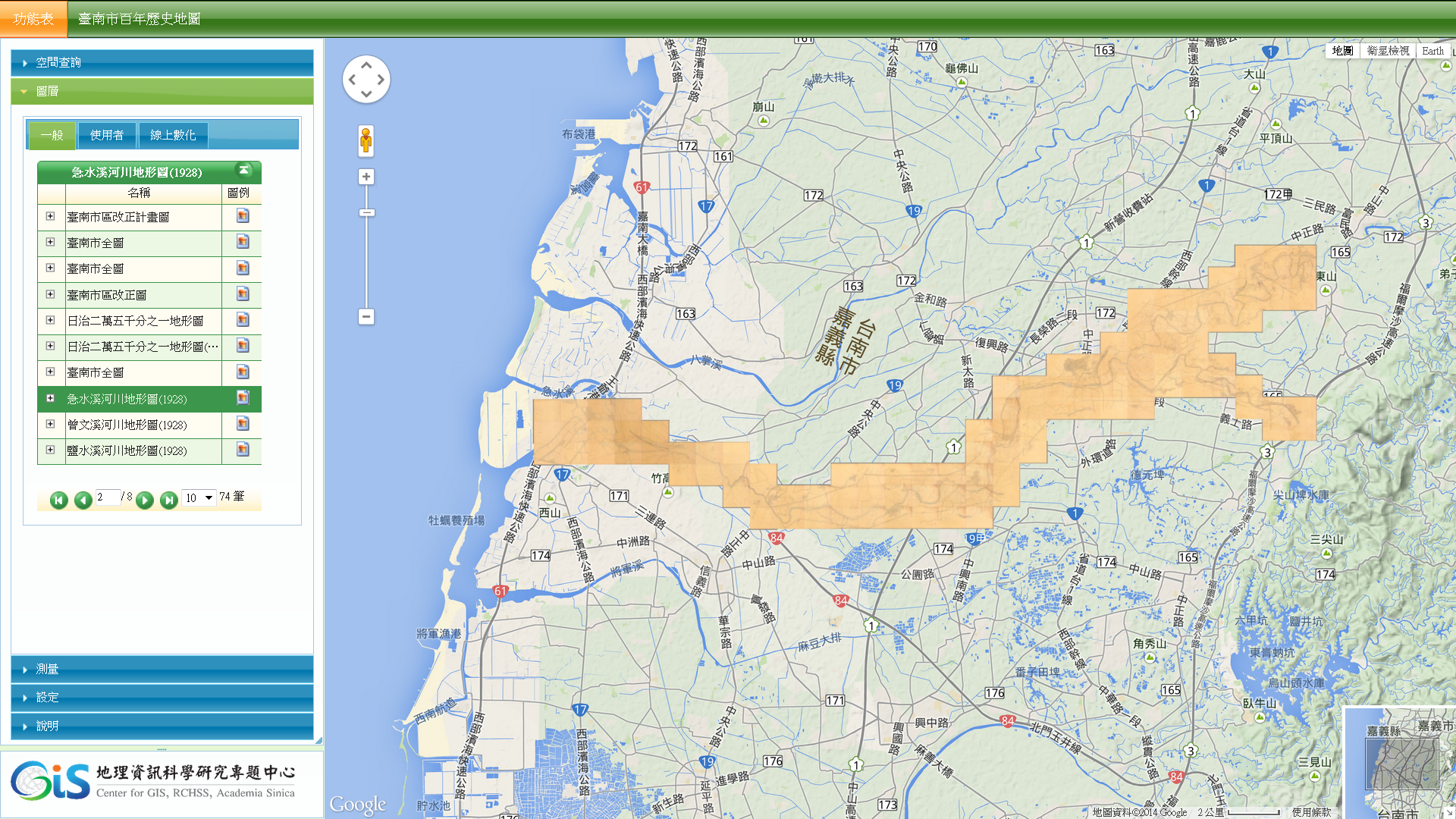
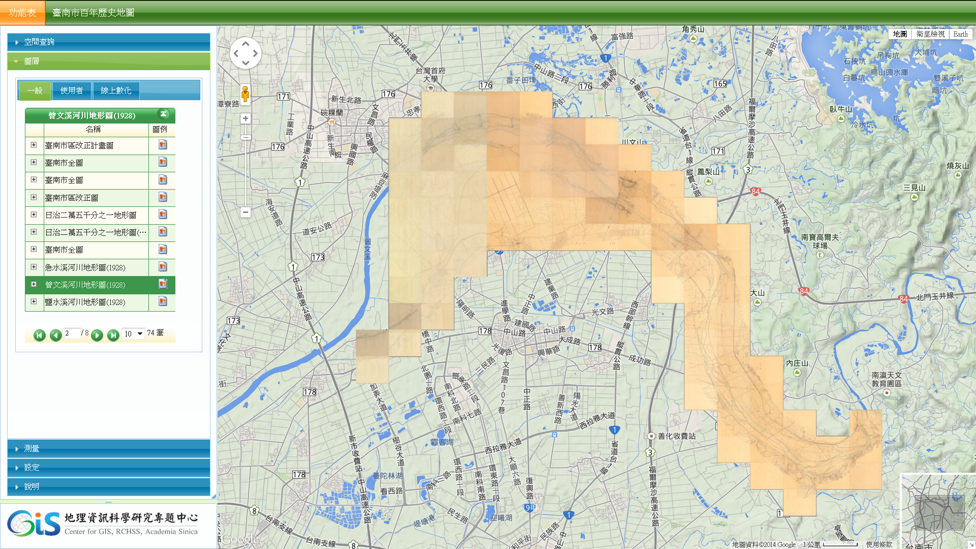
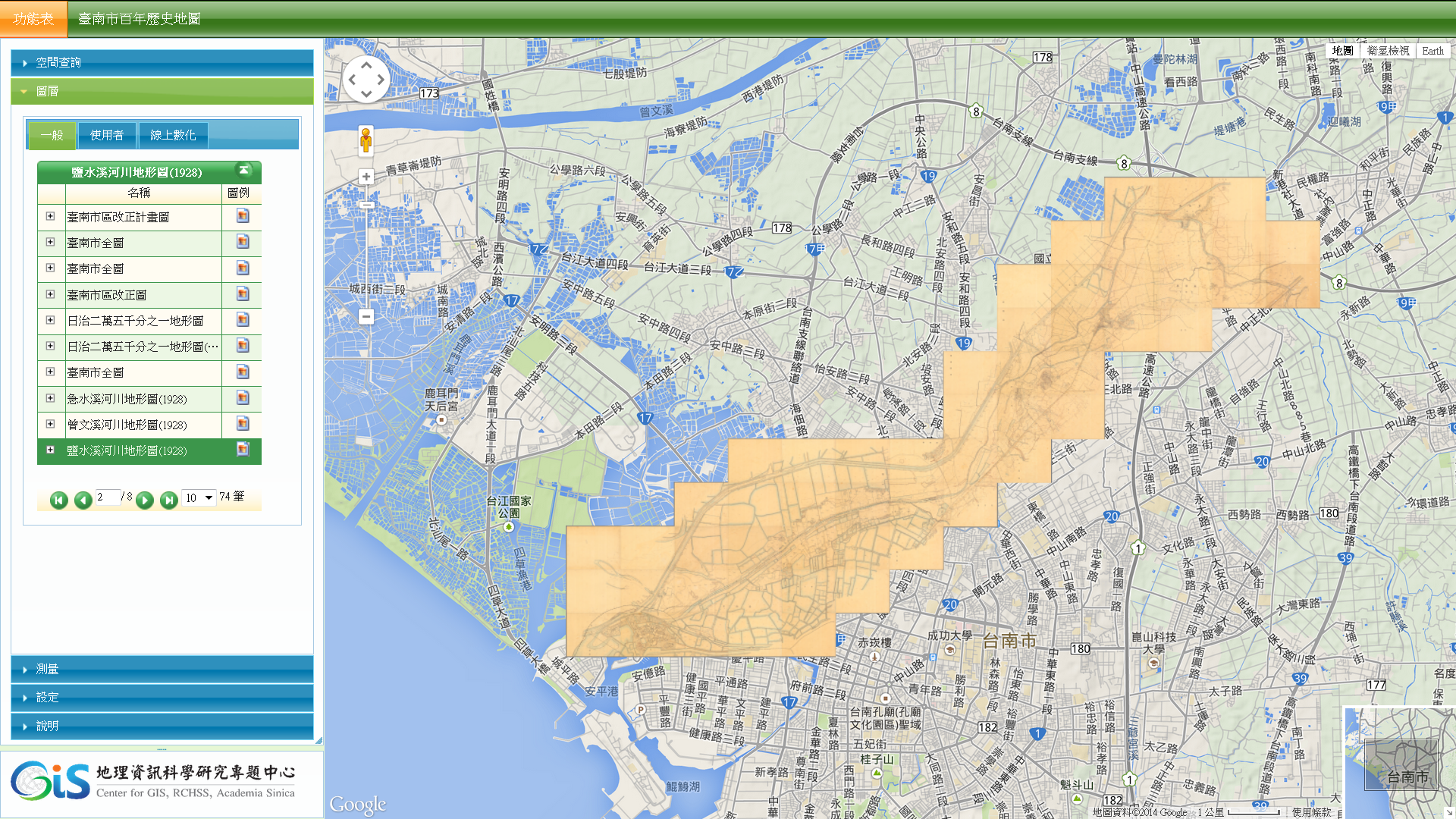
「臺南市百年歷史地圖」系統新增日治時期臺南地區主要河川大比例尺(1/2,500)的河川地形圖(原件典藏於經濟部水利署),包括:急水溪、曾文溪、鹽水溪,除了記錄早期河川整治前的地形面貌外,也詳細記錄上述河川沿岸的聚落空間訊息。
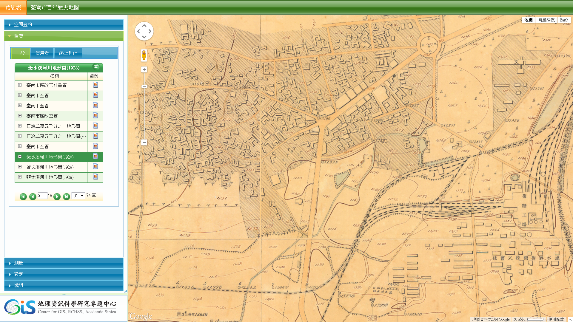
急水溪河川地形圖
曾文溪河川地形圖(部分)
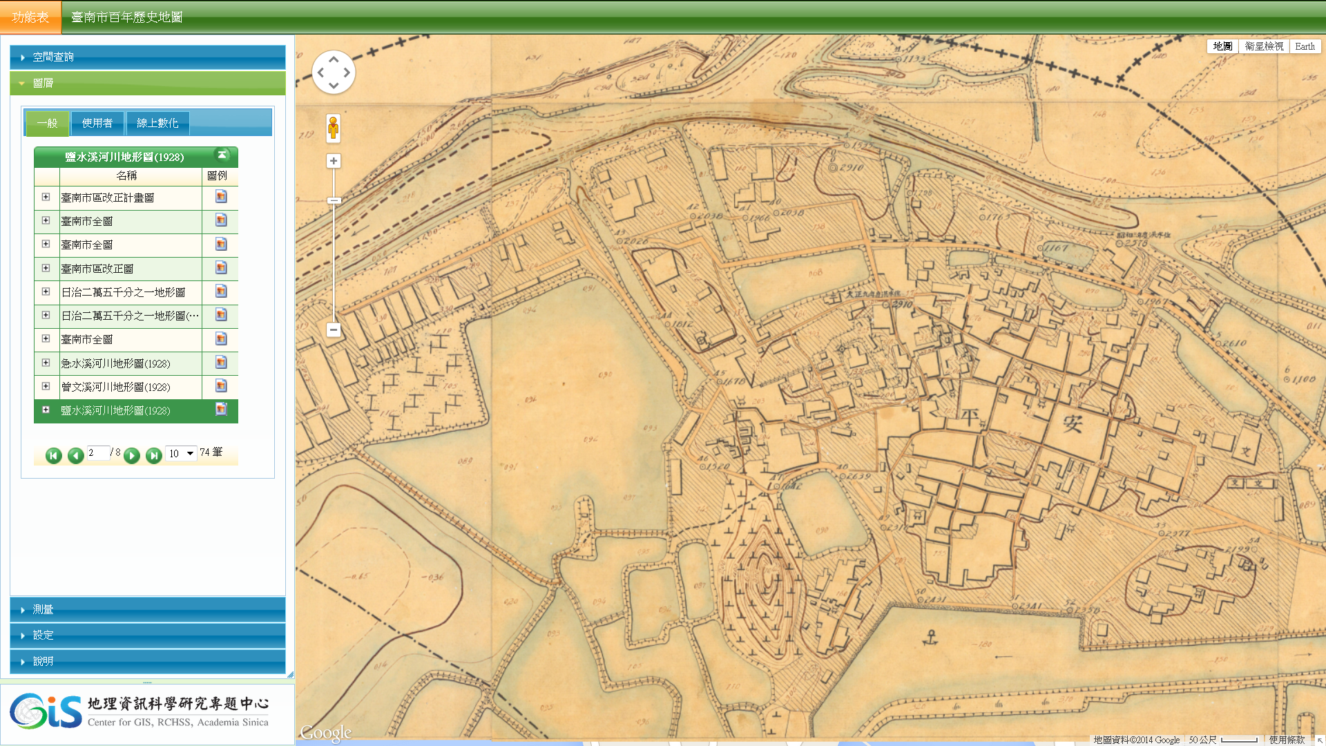
鹽水溪河川地形圖
鹽水溪河川地形圖上所記錄的安平市街
急水溪地形圖上所記錄的新營市街
This entry was posted on 最新消息. You can follow any responses to this entry through the RSS 2.0 feed.