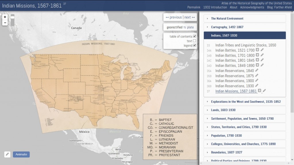
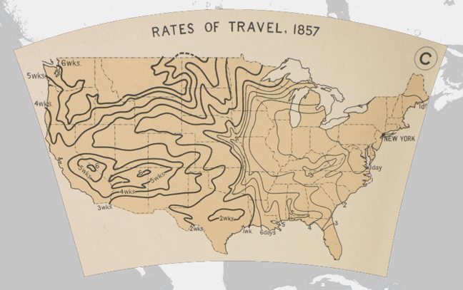
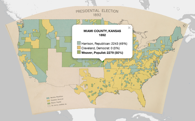
1932年美國the Carnegie Institution of Science出版一本「美國歷史地圖集(Atlas of the Historical Geography of the United States),其中包括各主題類型歷史地理相關地圖共計116圖版, 700單張地圖;2013年 Robert K. Nelson利用GIS將「美國歷史地圖集」重新編排呈現線上版本,可以新舊地圖套疊,並查詢地圖內容屬性。

http://dsl.richmond.edu/historicalatlas/


該地圖集已經過了著作權保護年限,屬於公共版權資料,使用時僅需依以下文字引用:
Charles O. Paullin, Atlas of the Historical Geography of the United States, ed. John K. Wright. Washington, D.C.: Carnegie Institution, 1932. Digital edition edited by Robert K. Nelson et al., 2013. http://dsl.richmond.edu/historicalatlas/.
This entry was posted
on
加值與應用.
You can follow any responses to this entry through the RSS 2.0 feed.


