


1999年加拿大維多利亞大學人文計算與媒體中心(Humanities Computing and Media Centre – University of Victoria) 進行一項名為「The Map of Early Modern London, MoEML」計畫,將一張1560年代左右的木刻倫敦市區圖,進行數位典藏,並透過與線上百科全書、圖書館書目系統以及16世紀的地理調查資料相互結合,重現16世紀倫敦城市面貌。
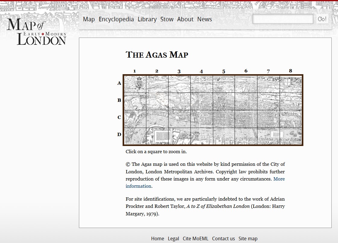 MoEML計畫首頁
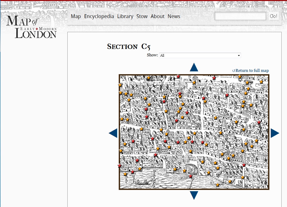 透過古地圖地標連結到各式文獻資料
進階閱讀:
- Jenstad, Janelle. Restoring Place to the Digital Archive: The Map of Early Modern London. Approaches to Teaching Early Modern Literature from the Archives. Ed. Heidi Brayman Hackel and Ian Frederick Moulton. New York: MLA
- Jenstad, Janelle. Using Early Modern Maps in Literary Studies: Views and Caveats from London. New Directions in the Geohumanities: Art, Text, and History at the Edge of Place . Ed. Michael Dear, Jim Ketchum, Sarah Luria, and Douglas Richardson. New York: Routledge, 2011.