臺北百年歷史地系統新增5幅市區街道地圖
Wednesday, August 21st, 2013 at 21:19
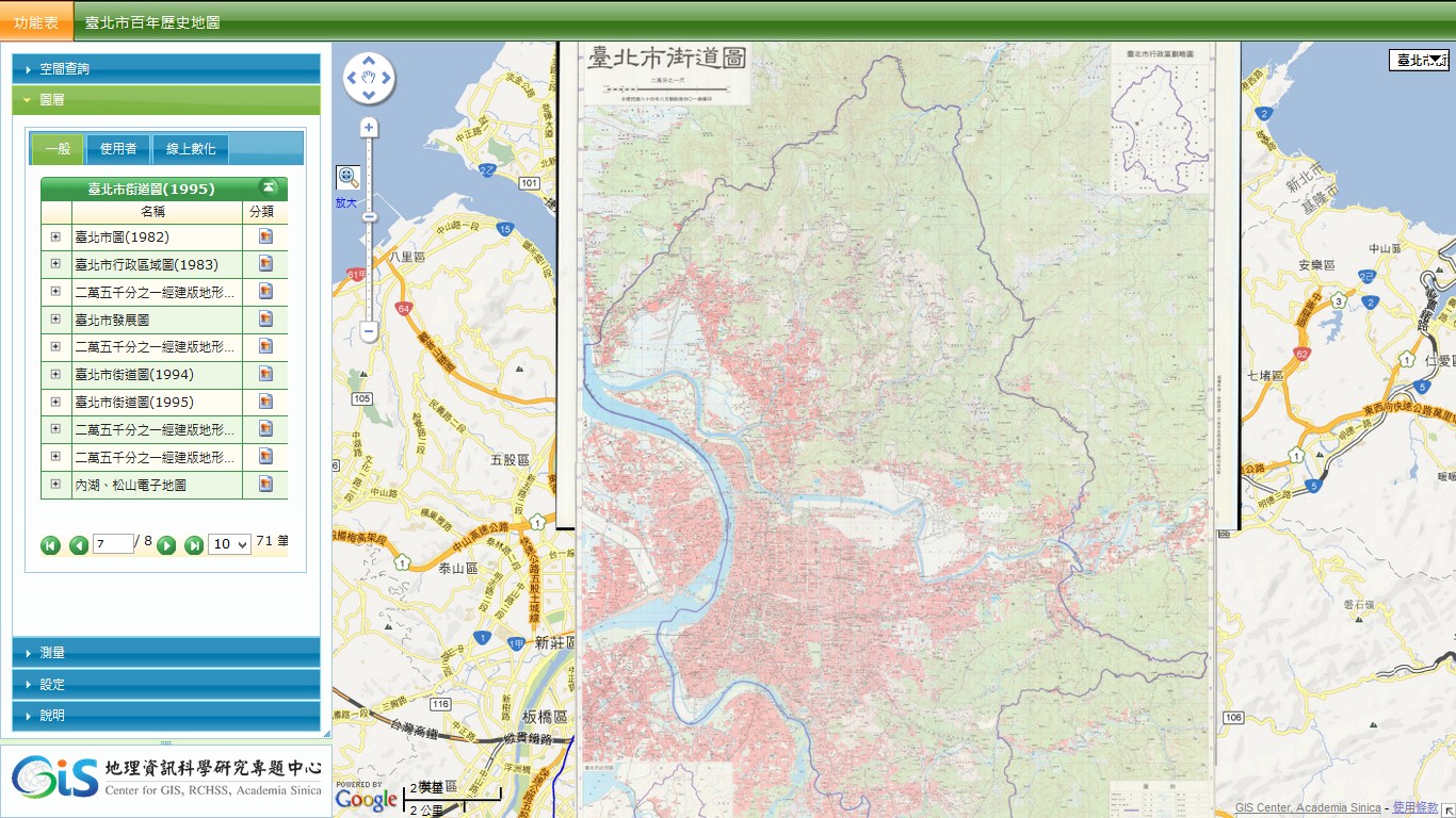
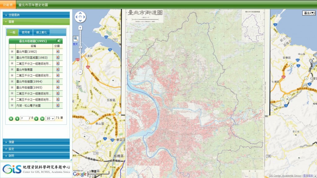
『臺北百年歷史地系統』新增1967~1995年間市區街道圖共計五幅,有助於是瞭解臺北市區城市發展脈絡,新增圖幅如下:
- 臺北市街道圖(1967)
- 臺北市街道圖(1976)
- 臺北市圖(1982)
- 臺北市街道圖(1994)
- 臺北市街道圖(1995)
This entry was posted
on
最新消息.
You can follow any responses to this entry through the RSS 2.0 feed.