「桃園市百年歷史地圖」系統上線
Sunday, August 21st, 2016 at 19:36
『台灣百年歷史地圖』城市系列新增「桃園市百年歷史地圖」系統,彙整桃園市各時期舊地圖及歷史航照影像,並以高鐵桃園車站特定區為資料優先建置區,逐步擴大到全市範圍。
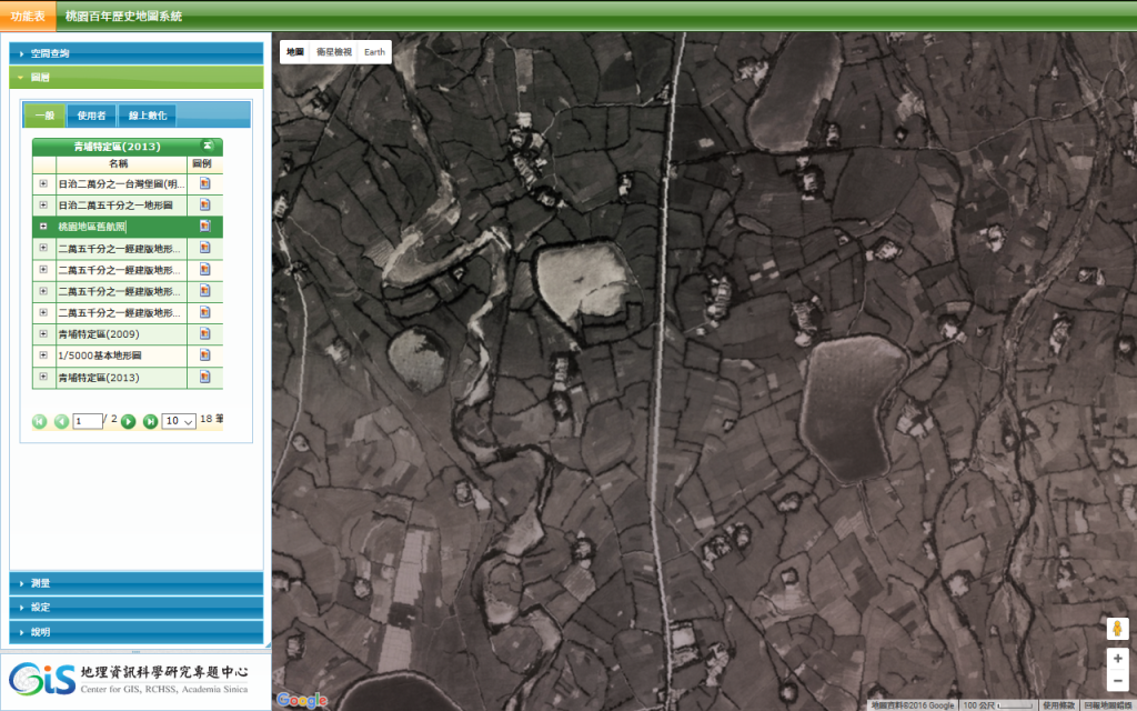
高鐵桃園車站特定區1956年航照影像
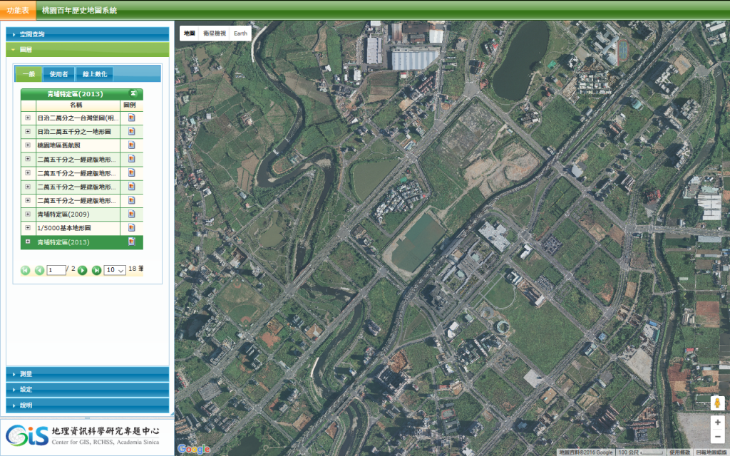
高鐵桃園車站特定區2013年航照影像
This entry was posted
on
最新消息.
You can follow any responses to this entry through the RSS 2.0 feed.