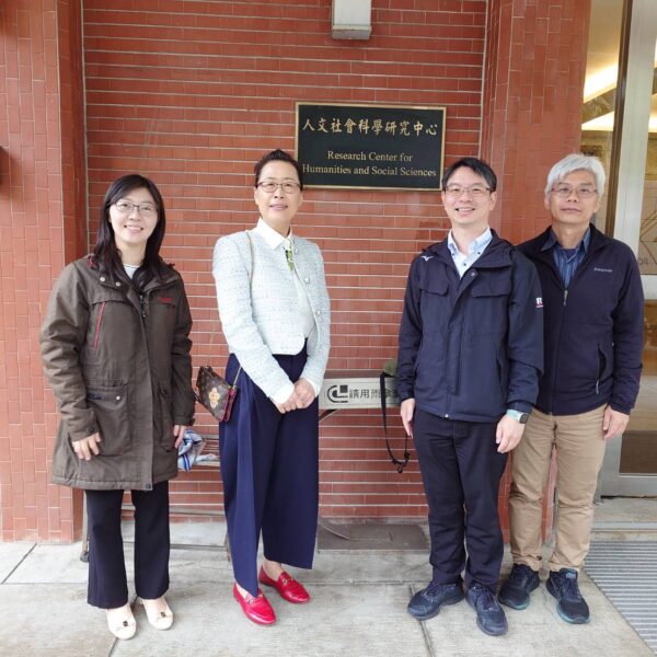
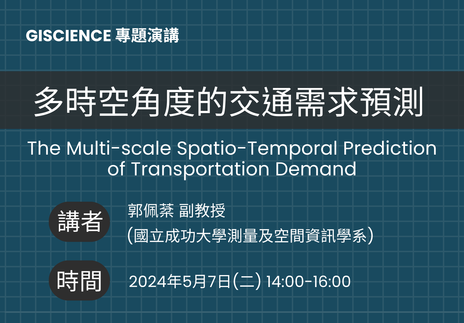
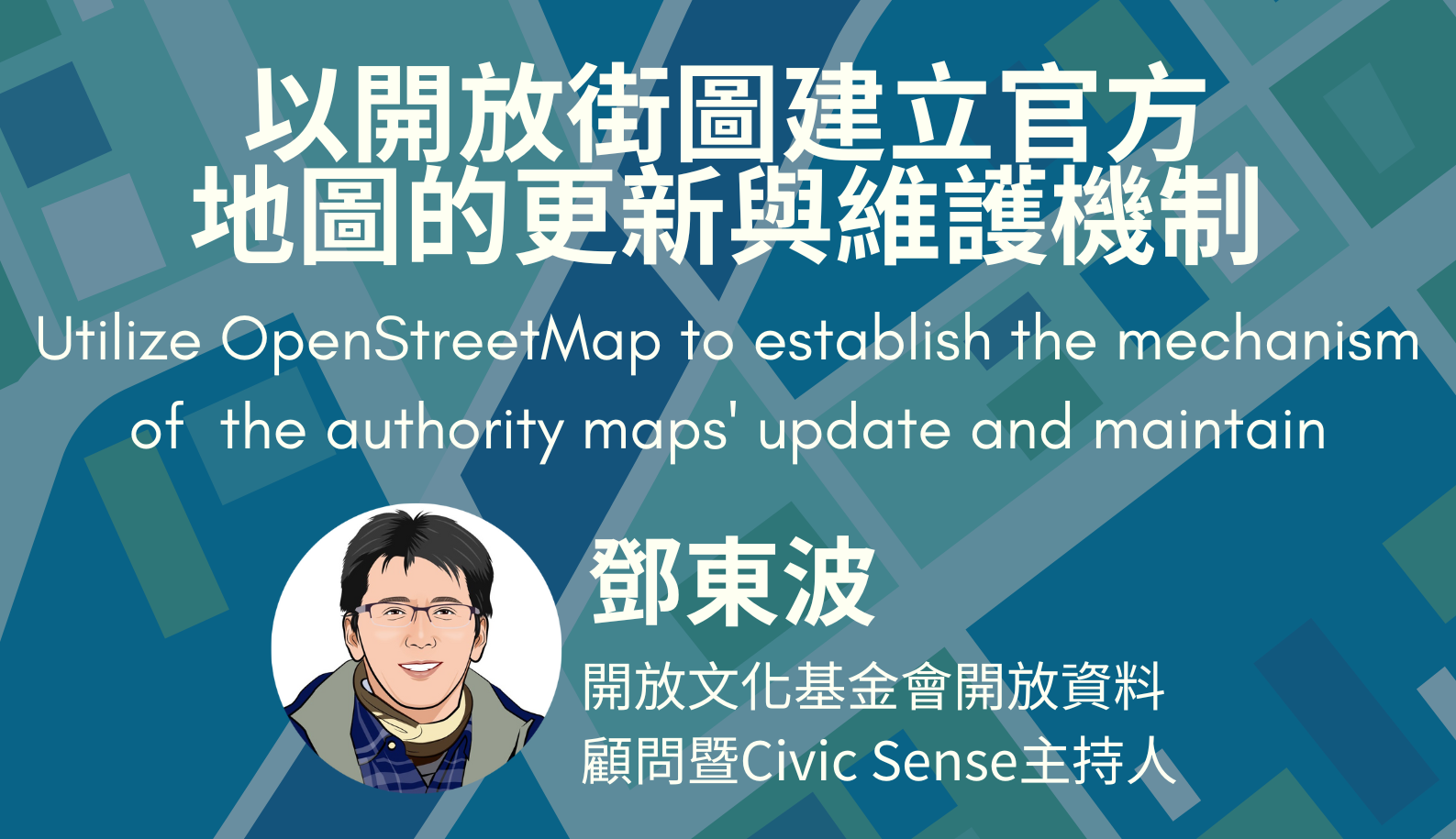
您好,歡迎來到 地理資訊科學研究專題中心 Center for GIS,RCHSS,Academia Sinica ▾ 最新消息人才招募最新消息GIS專題中心誠徵博士後研究學者veevee4 月 17, 2024195公告事項【中研院相關WebGIS平臺】系統維護公告veevee4 月 12, 2024307人才招募最新消息GIS專題中心誠徵院內GIS計畫專任研究助理1名veevee3 月 1, 2024751參訪活動最新消息匹茲堡大學朱潤曉館長蒞臨本專題中心進行學術交流veevee2 月 23, 2024817申請事項2024年中研院人社中心GIS專題中心暑期實習生研究計畫veevee2 月 21, 20241875公告事項最新消息本專題中心2024年暑期實習生研究計畫 開始招募~veevee2 月 5, 20242741 更多消息 ▾ 學術活動學術活動專題演講GIScience專題演講veevee4 月 15, 2024227學術活動專題演講GIScience專題演講veevee3 月 18, 2024549學術活動專題演講GIScience專題演講veevee3 月 8, 2024655學術會議學術活動PNC 2024 Call for Papers &…veevee2 月 22, 2024323學術活動專題演講GIScience專題演講veevee2 月 16, 2024832學術活動專題演講GIScience專題演講veevee2 月 15, 2024648 更多活動 ▾ 研究課題 ▾ 研究成果 ▾ 研究人員 詹大千研究員 蔡宗翰研究員 郭巧玲助研究員 廖泫銘研究副技師 陳伶志研究員(合聘) 莊庭瑞副研究員(合聘)